
List of civil parishes in England
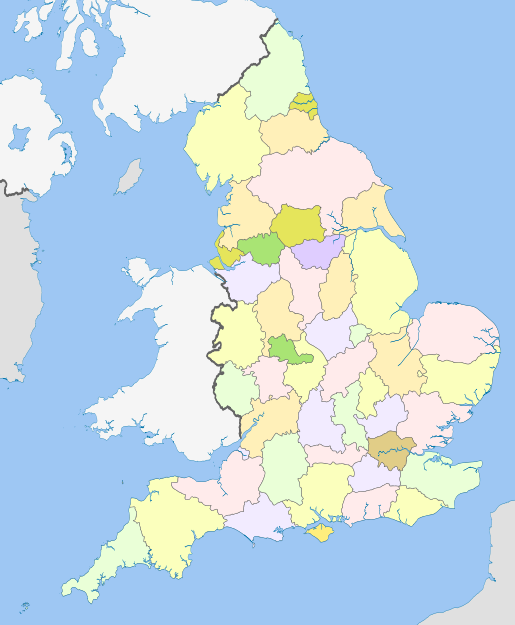
This is a list of civil parishes in England split by ceremonial county (see map below). The civil parish is the lowest level of local government in England.
Unparished areas
[edit]In addition to the London boroughs (except Westminster) and the City of London, the following districts are entirely unparished:
- Blackpool,
- Bristol,
- Broxbourne,
- Bury,
- Cambridge,
- Crawley,
- Derby,
- Dudley,
- Eastbourne,
- Epsom and Ewell,
- Exeter,
- Fareham,
- Gosport,
- Harlow,
- Hastings,
- Havant,
- Ipswich,
- Kingston upon Hull,
- Leicester,
- Lincoln,
- Liverpool,
- Luton,
- North Tyneside,
- Norwich,
- Nottingham,
- Nuneaton and Bedworth,
- Oadby and Wigston,
- Plymouth,
- Portsmouth,
- Reading,
- Rochdale,
- Runnymede,
- Rushmoor,
- Salford,
- Sandwell,
- Southampton,
- South Tyneside,
- Spelthorne,
- Stevenage,
- Stockport,
- Stoke-on-Trent,
- Tamworth,
- Thurrock,
- Walsall,
- Watford,
- Wirral,
- Woking,
- Wolverhampton,
- Worthing
The following districts only have one or two parishes:
In contrast, the following districts are entirely parished:
- Arun,
- Babergh,
- Blaby,
- Bolsover,
- Bracknell Forest,
- Breckland,
- Broadland,
- Central Bedfordshire,
- Cherwell,
- Cheshire East,
- Chichester,
- Cotswold,
- Craven,
- Derbyshire Dales,
- Dover,
- East Cambridgeshire,
- East Devon,
- East Hampshire,
- East Hertfordshire,
- East Lindsey,
- East Staffordshire,
- East Suffolk,
- Epping Forest,
- Fenland,
- Folkestone and Hythe,
- Forest of Dean,
- Hambleton,
- Hart,
- Herefordshire,
- Huntingdonshire,
- Isle of Wight,
- Isles of Scilly,
- Lewes,
- Lichfield,
- Maldon,
- Malvern Hills,
- Mendip,
- Mid Devon,
- Mid Suffolk,
- Mid Sussex,
- Milton Keynes,
- New Forest,
- Newark and Sherwood,
- North Devon,
- North East Derbyshire,
- North Kesteven,
- North Norfolk,
- North Northamptonshire,
- North Somerset,
- North Warwickshire,
- Northumberland,
- Pendle,
- Ribble Valley,
- Richmondshire,
- Rochford,
- Rutland,
- Ryedale,
- Sedgemoor,
- Selby,
- Sevenoaks,
- Shropshire,
- South Cambridgeshire,
- South Hams,
- South Norfolk,
- South Oxfordshire,
- South Somerset,
- South Staffordshire,
- Staffordshire Moorlands,
- Stratford-on-Avon,
- Stroud,
- Swindon,
- Tandridge,
- Teignbridge,
- Telford and Wrekin,
- Test Valley,
- Tewkesbury,
- Uttlesford,
- Vale of White Horse,
- Warwick,
- Waverley,
- Wealden,
- West Berkshire,
- West Devon,
- West Lindsey,
- West Northamptonshire,
- West Oxfordshire,
- West Somerset,
- West Suffolk,
- Westmorland and Furness,
- Wiltshire,
- Wokingham,
- Wychavon
- Wyre Forest
The following districts are entirely parished apart from unpopulated offshore areas:
10 largest civil parishes
[edit]| Parish | County or unitary authority | Area (hectares) |
|---|---|---|
| Stanhope | Durham | 25,557 |
| Dartmoor Forest | Devon | 20,482[1] |
| Tarset | Northumberland | 18,764 |
| Rochester | Northumberland | 17,920 |
| Biddlestone | Northumberland | 17,908[2] |
| Alston Moor | Westmorland and Furness | 14,949 |
| Bradfield | Sheffield | 14,292 |
| Kielder | Northumberland | 14,223 |
| Lakes | Westmorland and Furness | 12,970 |
| Muker | North Yorkshire | 12,210 |
100 civil parishes that reach the highest elevation
[edit]See also
[edit]- Parish councils in England
- List of the most populous civil parishes in England
- List of civil parishes in Scotland
- List of communities in Wales
- List of community council areas in Scotland
- Parish (ecclesiastical)
External links
[edit]- Office for National Statistics : Geographical Area Listings
- Hansard 1997-2000
- Hansard 2000-2005,
- A Vision of Britain Through Time
- Ordnance Survey : Election Maps
- Census 2001 : Neighbourhood Statistics
- Electoral Commission
- ^ "Custom report - Nomis - Official Census and Labour Market Statistics". www.nomisweb.co.uk. Retrieved 2024-08-21.
- ^ "Custom report - Nomis - Official Census and Labour Market Statistics". www.nomisweb.co.uk. Retrieved 2024-08-21.